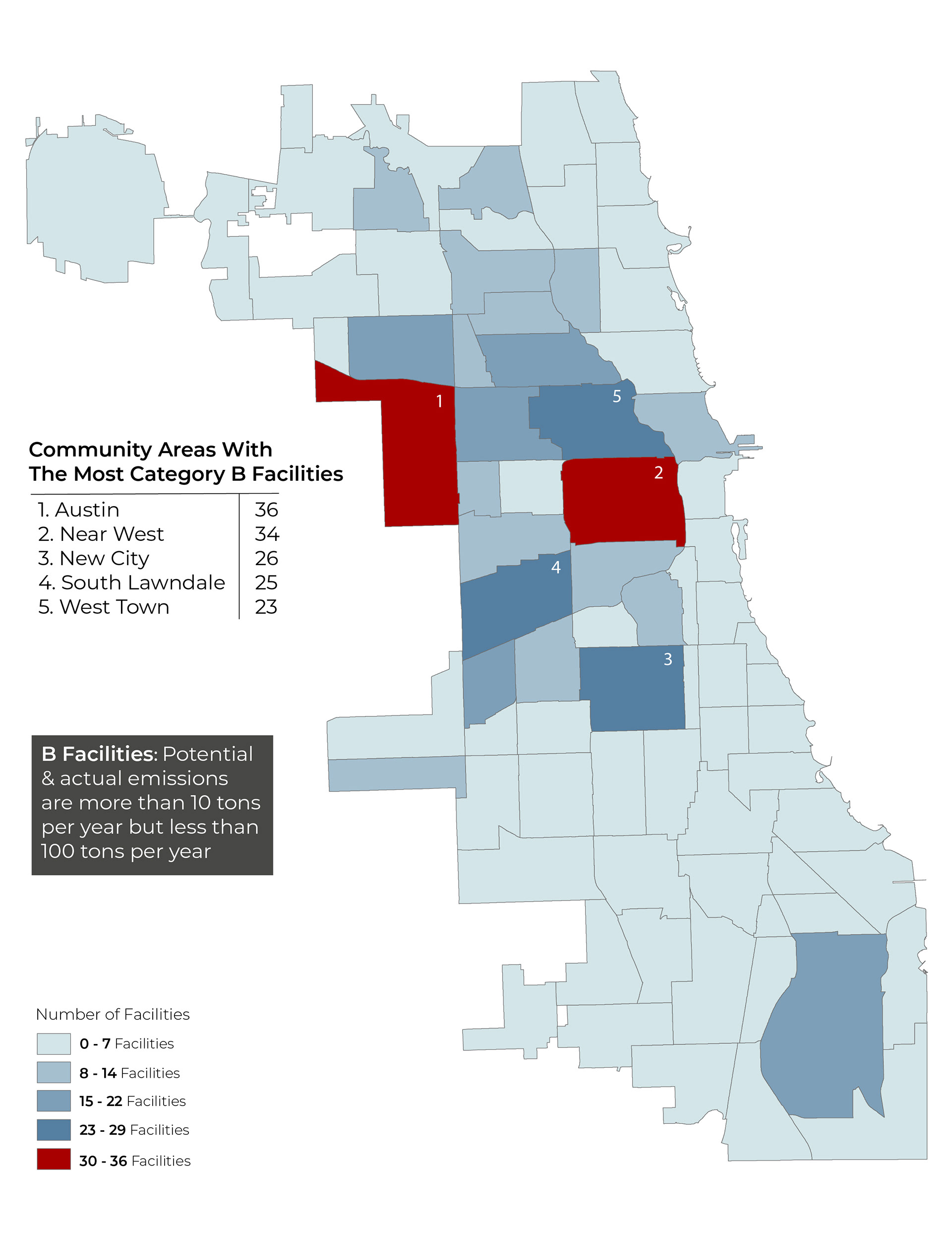
Environmental Permitting Maps
As part of the Chicago Inspector General's audit of the City's environmental permitting for commercial and manufacturing facilities, I developed maps that illustrate where polluting facilities are concentrated. The report can be found on OIG's website here.


Planning Area Base maps
I created the base maps and performed most of the geospatial analysis for a comprehensive plan for the Roseland community area.


Analysis and Application
The image on the right is an analysis of how many riders would be reached through proposed and theoretical extensions to the CTA's Green and Red lines. This was done as part of a large academic project.